
Data Catalog
This portal provides operational information and products on the weather and smoke haze situation in the ASEAN region.
Satellite Imagery
The ASMC provides access to near real-time orbital satellite feeds to monitor regional weather patterns, atmospheric conditions, and active fire hotspots across Southeast Asia. Select a satellite instrument below to access the latest data.
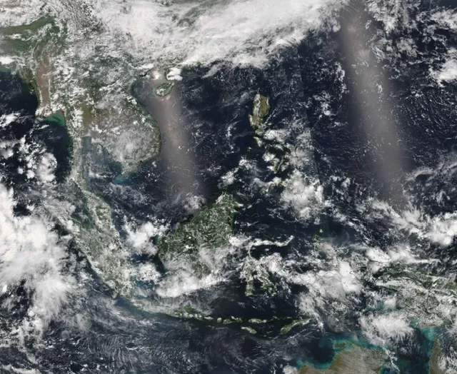
Satellite Images JPSS 1 NOAA 20
View high-resolution satellite imagery tracking the movement of smoke plumes, regional haze, and active fires. Observe vital atmospheric data used to monitor the transport of particulate matter and track environmental hazards across the region.
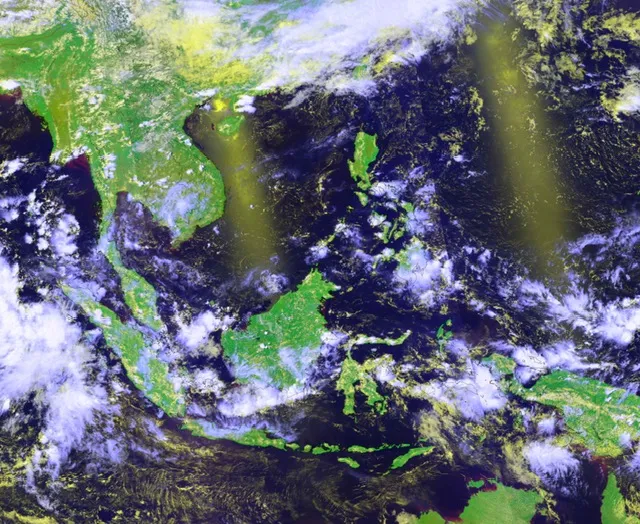
Satellite Images SUOMI NPP
View continuous day-and-night satellite observations of atmospheric aerosols, smoke haze, and land fires. Utilize unique low-light imaging to monitor the regional transport of particulate matter and track developing environmental hazards around the clock.
Hotspot Reports
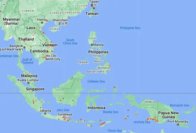
The ASMC provides daily assessments of active fire hotspots across the ASEAN region. These reports utilize thermal anomaly data from satellite sensors to help monitor land clearing activities and mitigate transboundary smoke haze. Select a report category below to view recent hotspot counts and regional distribution maps.
Dispersion Models
The ASMC utilizes advanced atmospheric dispersion modeling to simulate the transport and spread of transboundary smoke haze. These predictive tools assist in forecasting air quality impacts and wind trajectories across the ASEAN region. Select a model below to view current simulations and haze assessments Infocards component
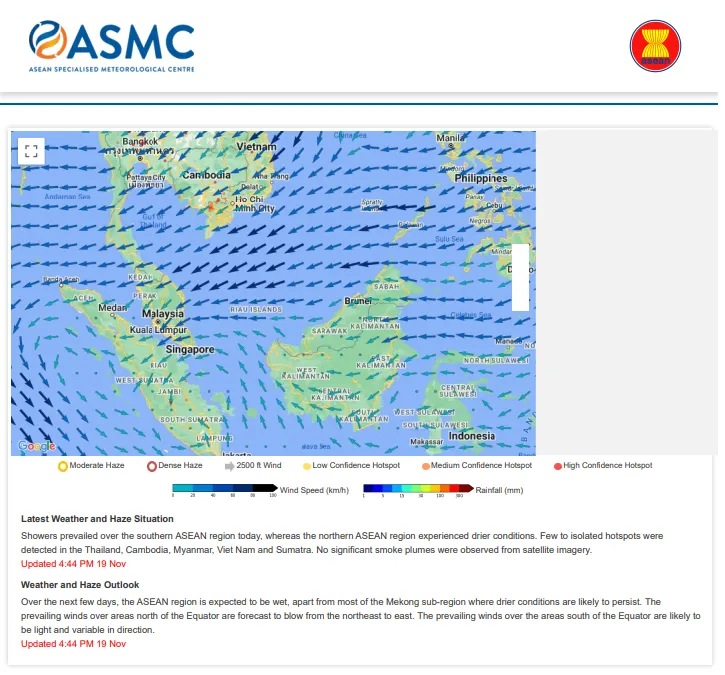
Regional Haze Situation
The hotspots depicted in the map are derived from the NOAA satellite and they represent locations with possible active fires. Hotspots may go undetected due to cloudy conditions or incomplete satellite pass.
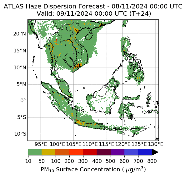
Smoke Haze Dispersion Model
The animation shows the estimated surface PM10 concentration over a 24-hour period from 00 to 24 UTC at 3-hourly intervals. A 24-hour look-ahead is provided for haze affecting the ASEAN region, based on numerical modelling. The predictive simulation is generally updated by 00 UTC each day; however the upload time will vary slightly depending on the number of fires detected and available input information.